About us
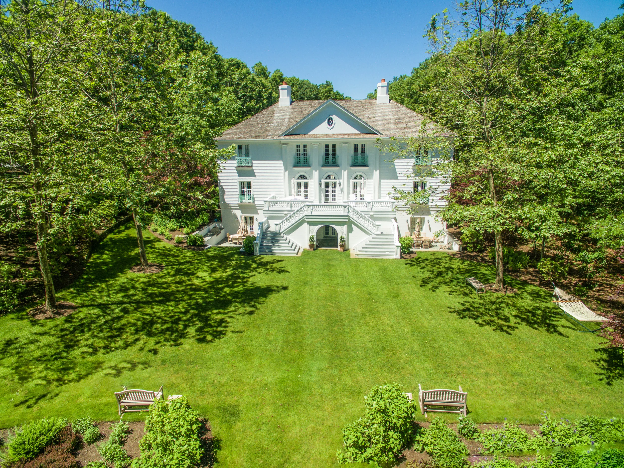
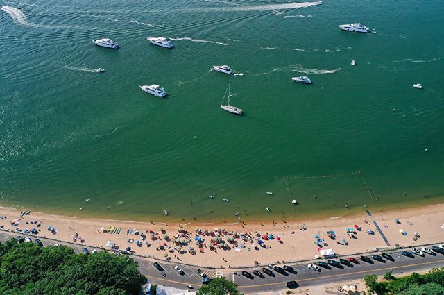
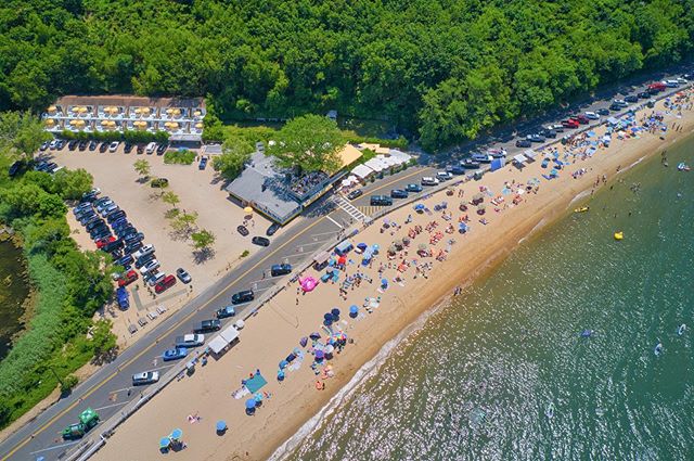
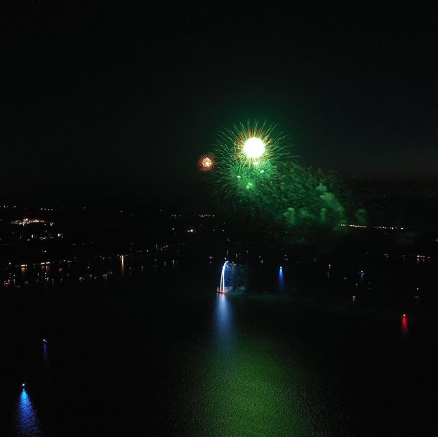
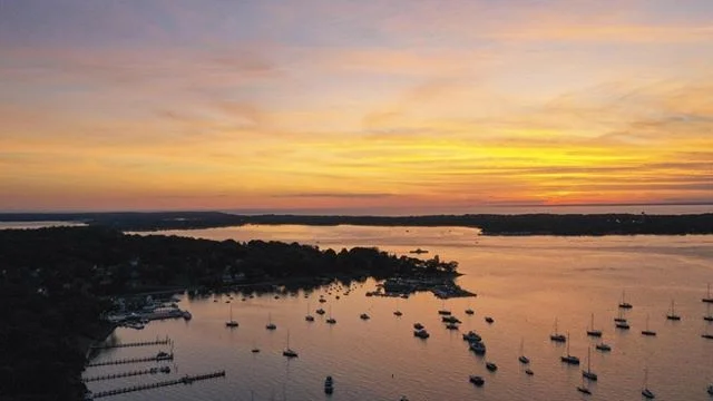
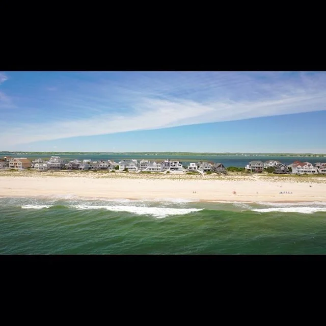
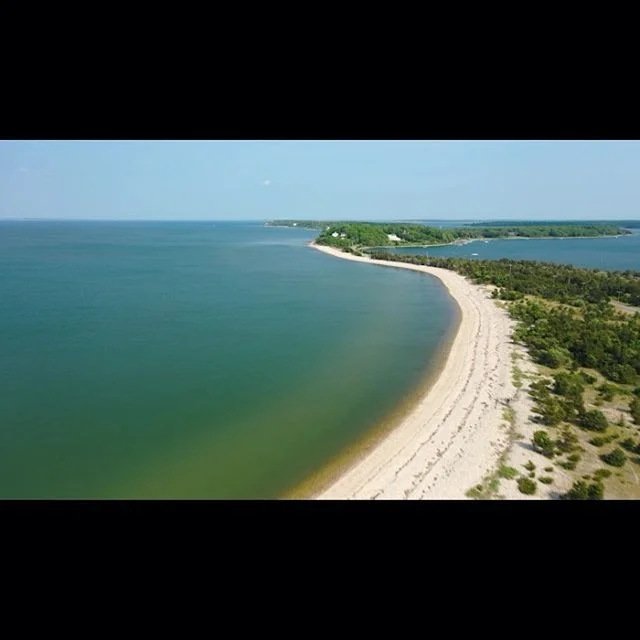
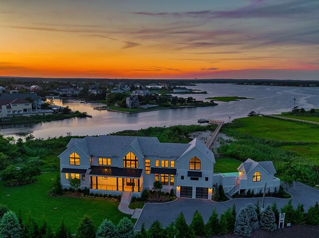
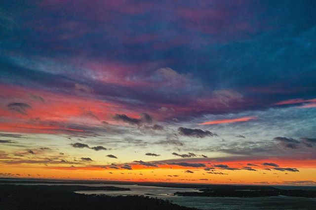
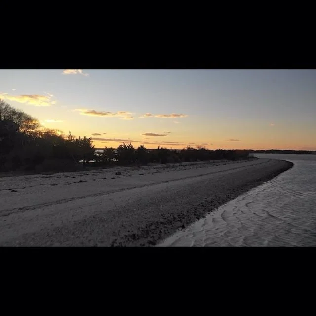
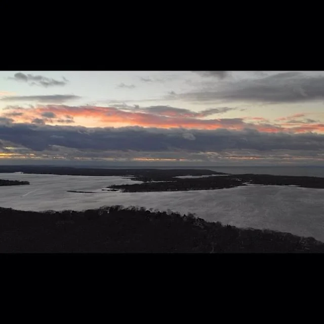
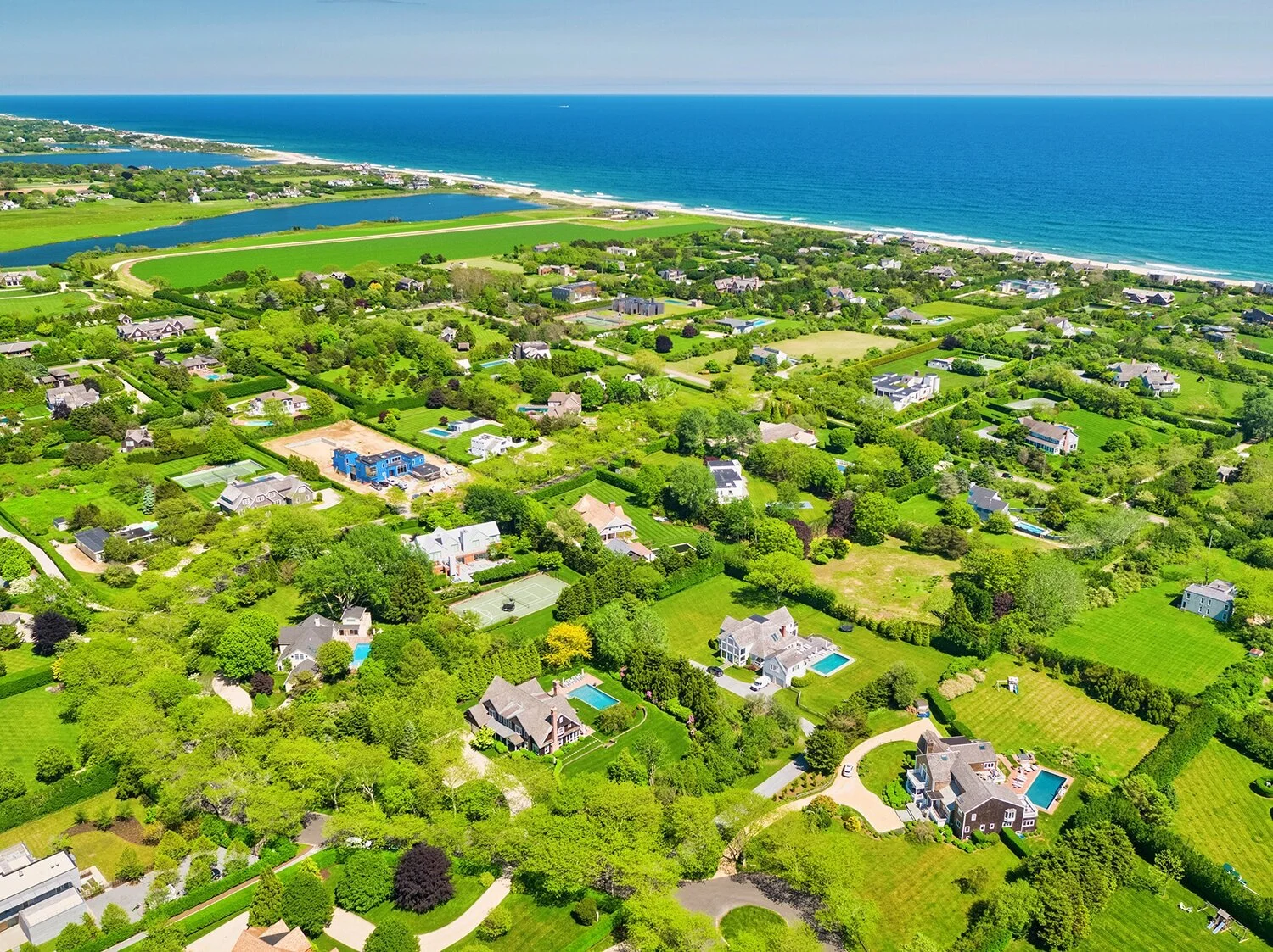
Expertise, service and quality — here at Aerial Hamptons we believe in your vision and work tirelessly to manifest it into rich, high definition visual content. There’s never been a better time to utilize the power of aerial photography / videography for your life and business. Whether you need a camera drone flown out to capture listing images for real estate, full photographic maps for construction, or even regular monitoring of agricultural projects; Aerial Hamptons have got you covered. Proudly servicing The Hamptons, Shelter Island and North Fork regions of Long Island for over five years now; we use only the cutting edge in drone image capturing and 3D imaging technology to provide you with crisp, high-quality media for an affordable price tag.
Unlike other services on the East End, we are fully insured, as well as completely certified by the FAA (Federal Aviation Administration) to fly commercial operations — so you can rest easy on the fact that you’re in safe hands when you book with us. We’re also notoriously on the cutting-edge of the industry and offer our technological know-how out to sectors regularly underserviced by many firms. Aerial Hamptons are one of the only aerial visual companies out there today offering a diverse range of services in niches like land mapping, infrastructure inspections and agricultural farm imaging to monitor crop health. No matter how specific your needs or budget — our team can tailor a package to suit you.